Washington State University Buildings and LandscapesMain MenuWashington State University Buildings and LandscapesWSU Buildings and LandscapesBuildingsLandscapes and SculpturesCampus Maps and ViewsArchaeologyPortions of the WSU campus were excavated in 1984-1985 as part of the WSU Centennial Project, which was supported by University Relations.About This SiteHow to Use This SiteAdditional ResourcesAndrew Gillreath-Browned57b57bd543a26fc6b1c5658d33aa5903711e25
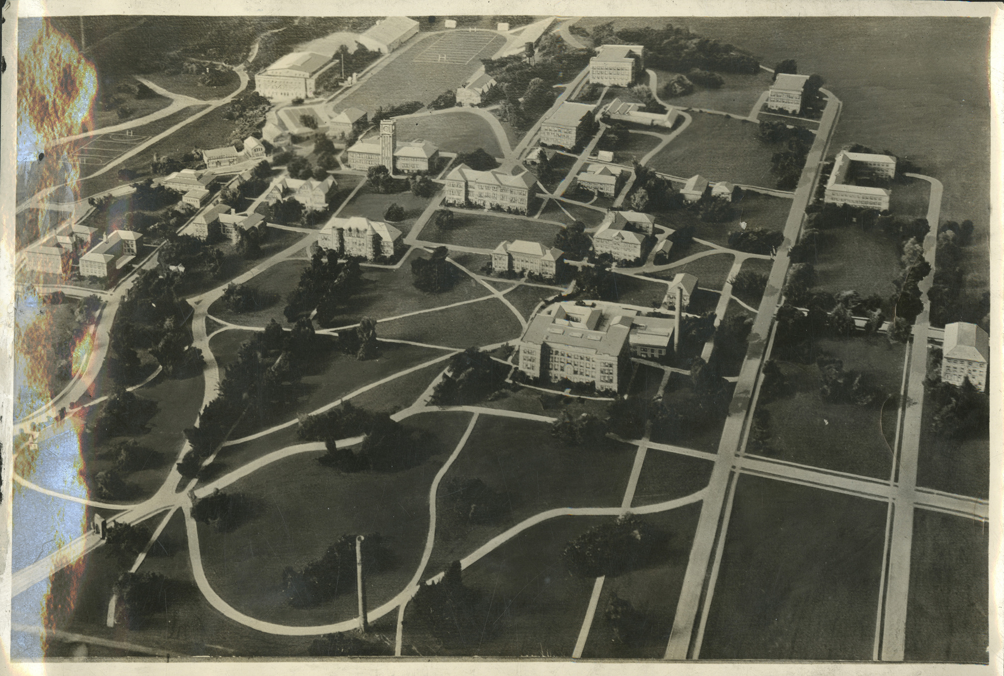
1920s Campus Model with Building Locations
12019-05-09T16:51:03-07:00Alex Merrillb09a6772a215272bb53277ec320c56e5b0f4339941Image of a model of the WSU campus, which was constructed by Edward Holien and Jack Rolf. Building locations are plotted on map. Please see https://archaeo-programmer.github.io/historic-leaflet/ for a full page view.meta2019-05-09T16:51:03-07:00image; Black-and-white photographsarchitectural model models; builder's model; campus1926Andrew Gillreath-BrownHuckle, Myron S.leafletEngAlex Merrillb09a6772a215272bb53277ec320c56e5b0f43399
Image of a model of the WSU campus, which was constructed by Edward Holien and Jack Rolf. Building locations are plotted on map. Please see https://archaeo-programmer.github.io/historic-leaflet/ for a full page view.